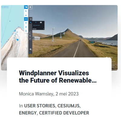
Windplanner Visualizes the Future of Renewable Energy with CesiumJS
Cesium wrote an article about us, about how we visualize the future of renewable energy.
Windplanner, a Cesium Certified Developer, offers a powerful tool for visualizing renewable energy projects. Using @CesiumJS, Windplanner allows users to see how wind turbines, solar panels, transmission lines, and energy storage systems will appear in their surrounding area. The tool provides 2D and interactive 3D views, incorporating buildings, terrain height, trees, and existing as well as proposed energy infrastructure. By presenting clear and realistic representations of the changes, Windplanner helps address concerns and garner support for local renewable projects.
To create accurate visualizations, Windplanner uses panoramic photos from various sources, such as user libraries or suppliers like Google Street View. These photos are combined with Cesium World Terrain to offer detailed and up-to-date representations of the project areas. Users can select predefined turbine models or customize their own, adjusting parameters like hub height, rotor diameter, wind direction, and color. They can also set specific dates and times to evaluate shadow effects caused by turbines or solar panels. Windplanner incorporates Cesium OSM Buildings and Bing Maps Aerial imagery to provide geospatial context.
The tool enables collaboration among planners, residents, and decision-makers by allowing the sharing of interactive viewpoints. Users can present proposed layouts and locations and even experience the projects in virtual reality for a more immersive perspective. By leveraging Cesium’s capabilities, Windplanner enhances visualization and communication for energy projects worldwide by providing real-world data for discussions and decision-making.
Click here, to watch the full article:

