Line

Visualization for Transmission Power Lines

Understanding new transmission transmission power lines

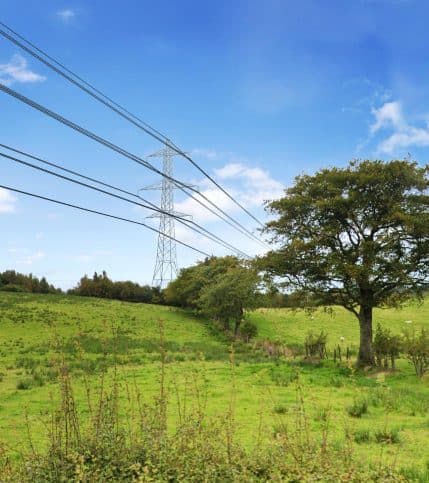
It has become increasingly important for Transmission System Operators (TSOs) to involve the surrounding community in their plans. Stakeholders struggle to visualize what the future situation will look like, making it harder to build understanding and acceptance for new transmission power line routes.

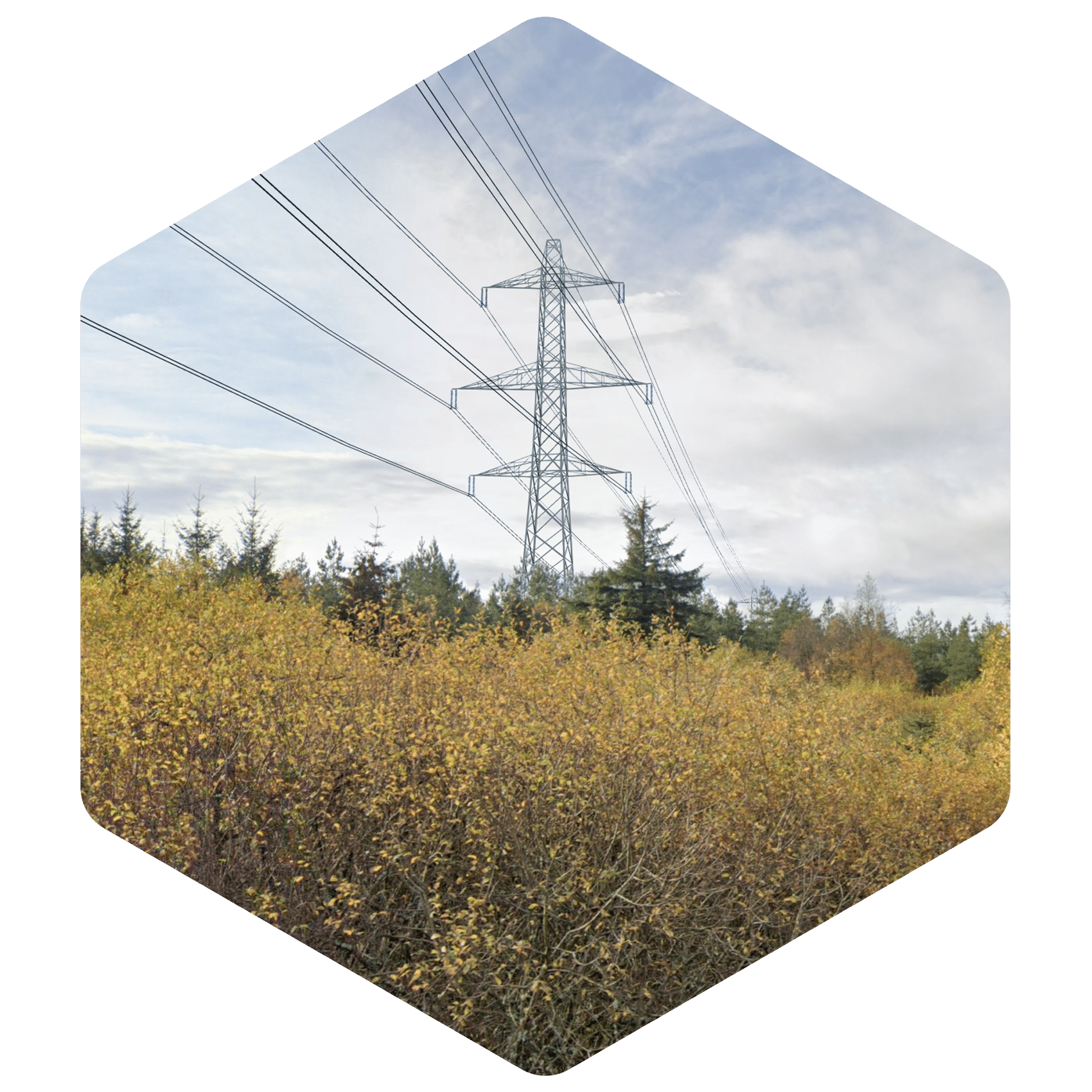
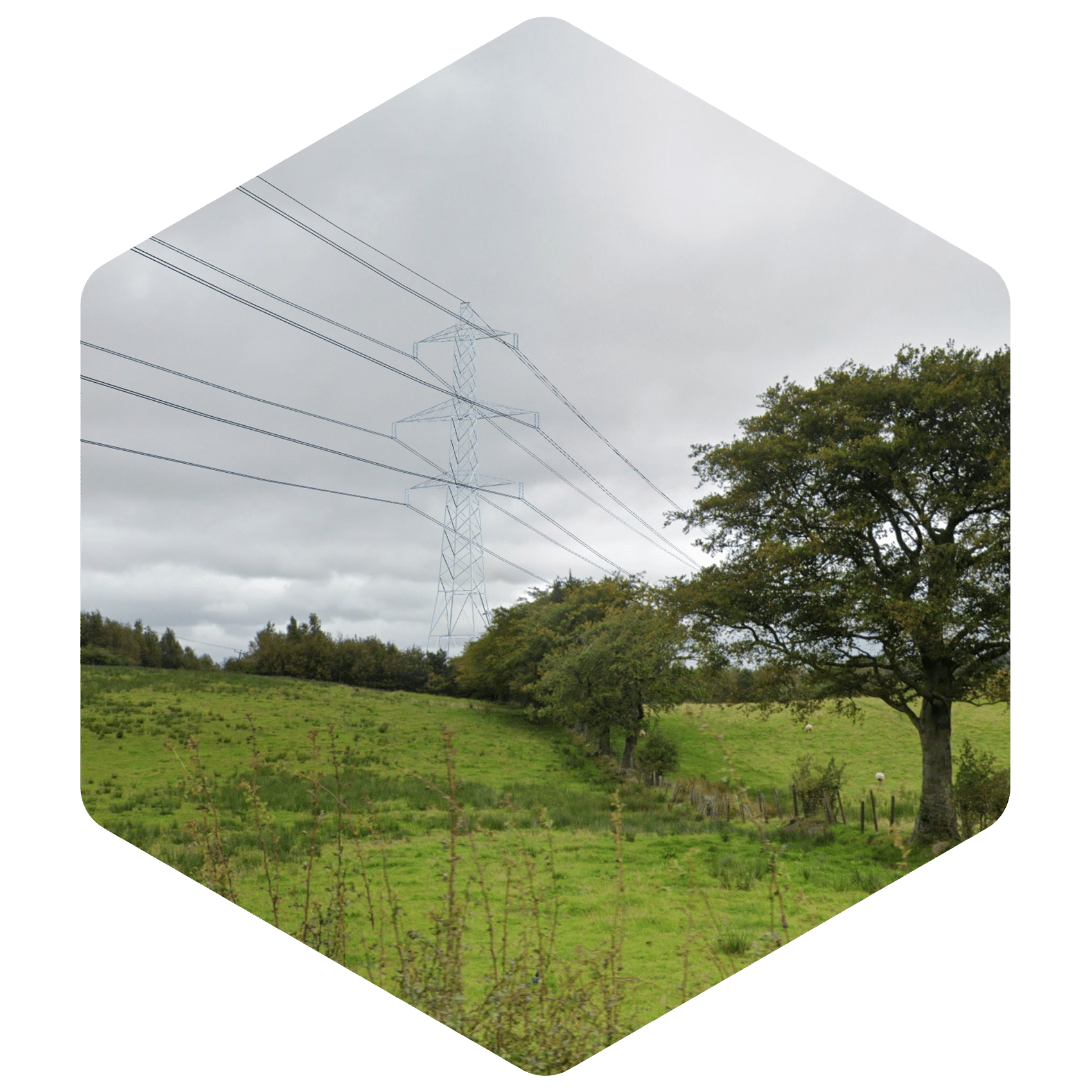
At Windplanner, we help TSOs with our visualization tools to bridge the gap between technical plans and public understanding. Our realistic visualizations, including 3D and 360-degree views, allow communities to see exactly how future transmission lines will integrate into the environment. 
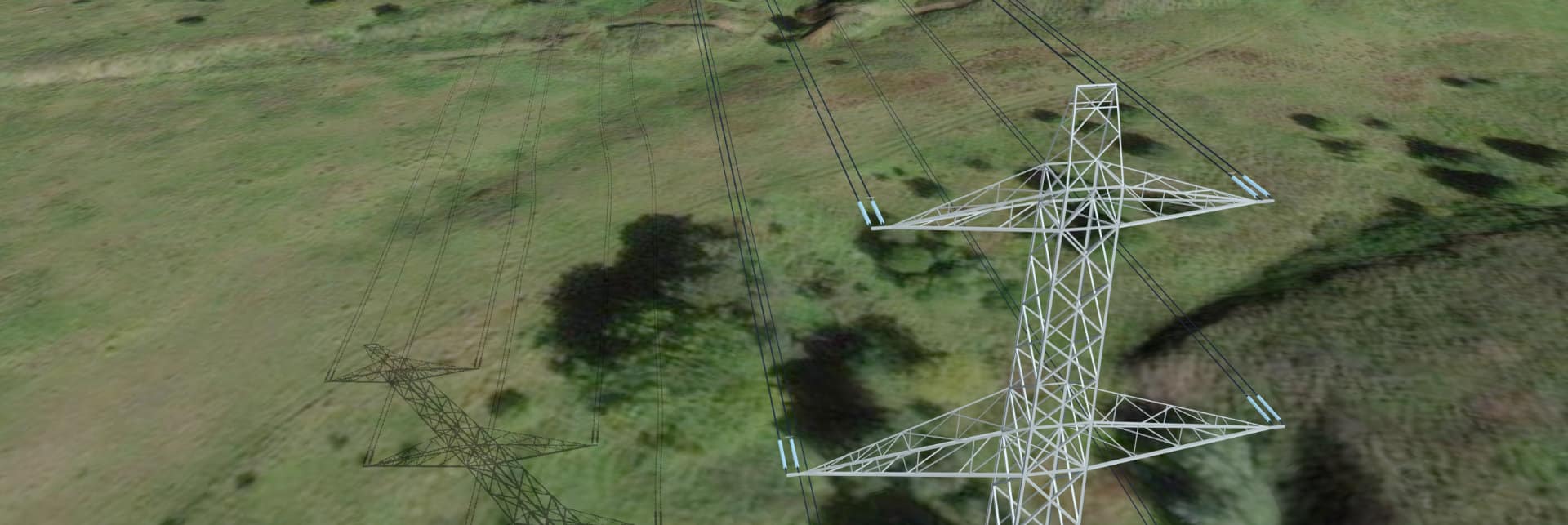
Enhancing transparency and collaboration to accelerate project success

By making complex developments easy to understand and visually accessible, we let TSOs build transparency, build trust, encourage informed dialogue with the public, and ultimately accelerate the project process. 

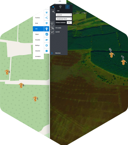
We transform the way you collaborate with stakeholders. Through advanced communication tools and swift conflict resolution capabilities, our solution promotes productive dialogue. Windplanner with Line module enhances transparency by allowing users to leave geo-tagged comments directly on project maps.

Facing social opposition? With module Present, you can visualize projects in their real-world environments, significantly enhancing understanding and perception. We strengthen this approach by emphasizing transparency throughout the project lifecycle, ensuring stakeholders remain informed and engaged.
Accurate

Accurate

Fast

Fast

Do it yourself

Do it yourself

See how it works

For the project between Polquhanity and Tongland in southern Scotland, we partnered with MVGLA to create an interactive 3D model that demonstrated the landscape impact of 50 kilometers of overhead transmission lines. This model not only supported the team of engineers but also facilitated dialogue with local communities about the project’s impact.

Using 3D, interactive models, and Virtual Reality, local residents were able to visualize the future situation and provide valuable feedback during public meetings. This helped reduce resistance and allowed the project team to make adjustments early on, ensuring smoother project execution and stronger community support.

Key features Lineplanner

> Accurate visualization in 360 degree photo

> Immersive 3D & Street View

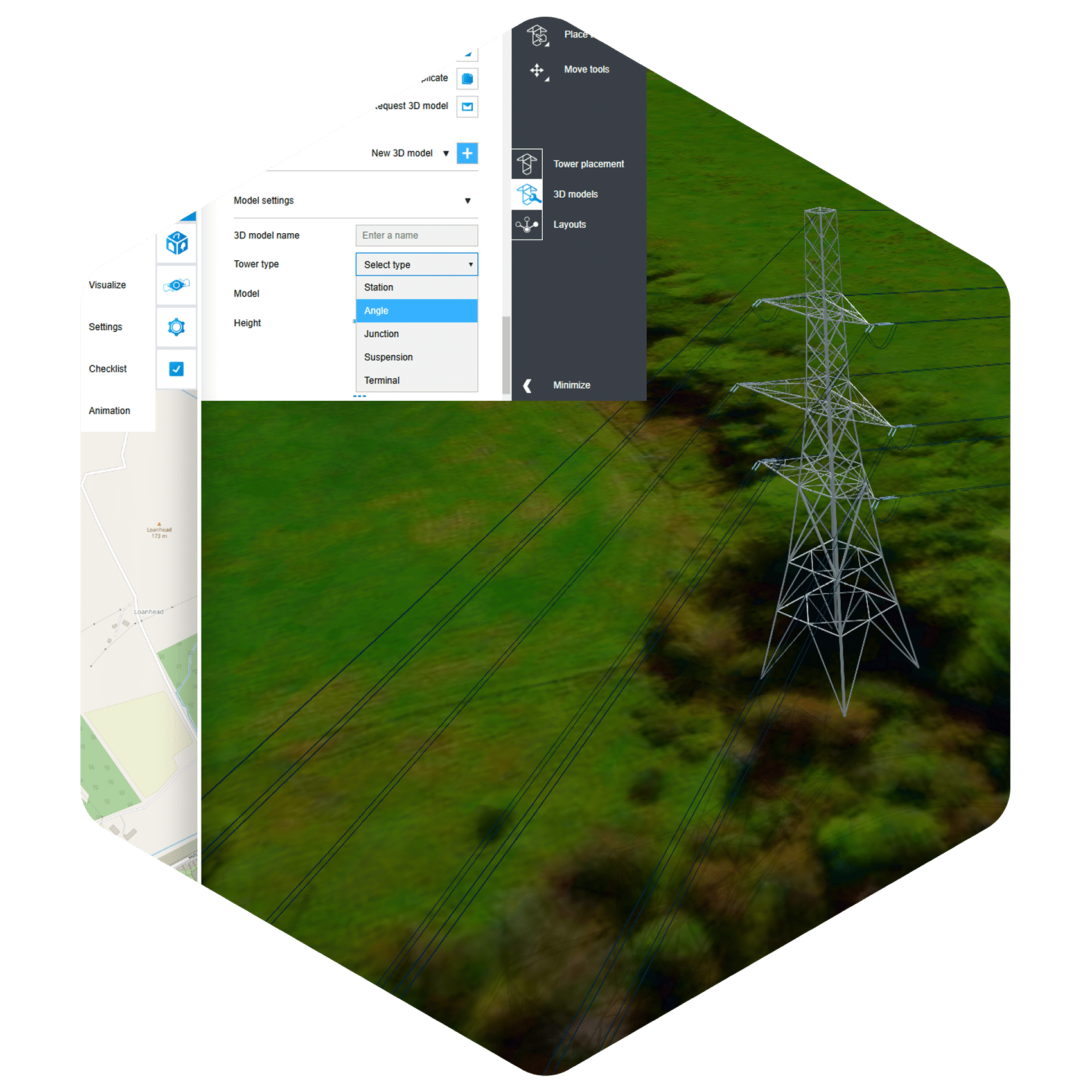
> Place and visualize different types of pylons and stations.

> Terrain Adaptation

More about Windplanner

Let's set a date!

Our products and services

Professional Visualization Services
and Stakeholder Engagement

At The Imagineers, we specialize in delivering professional services for high-end visualization, video production and animation, tailored to meet the needs of energy park developers.

We offer a range of advanced editing capabilities, from seamlessly removing unwanted elements like trees and houses from photos and 3D environments to incorporating vital information such as road networks.

Combining Line planner content with our professional 3D services, we deliver impactful communication for external stakeholders, showcased through our Stakeholder Engagement Platform or Virtual Consultation Room.

Logo's

Curious about what we can do for you? Come say hello!