Extend your Windplanner
Want to have more information in your project? That’s possible too! Windplanner can be extended with additional content, as listed below. Simply specify what you need and we will contact you with a quotation.
Want to have more information in your project? That’s possible too! Windplanner can be extended with additional content, as listed below. Simply specify what you need and we will contact you with a quotation.
It depends on the location if high quality Google Street View pictures are available. If this quality does not match your expectation, you can request high quality spherical photographs of your location. Our photographer will take these pictures according to your needs.
Also, you can request to get access to Cyclomedia, which is an alternative database of high quality spherical pictures.
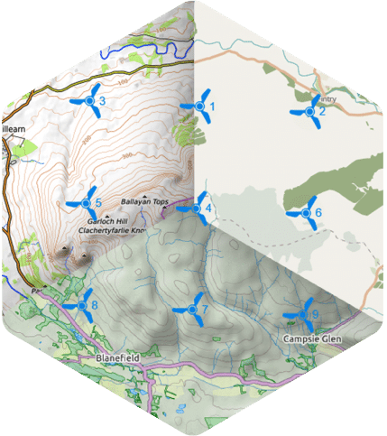
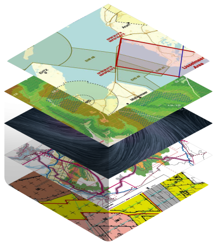
Do you want to have more information on your map? By adding layers, you can include additional geographic information. We can offer a wide range of geographic information to match your needs. You can blend the layers together to get the results you have mind.
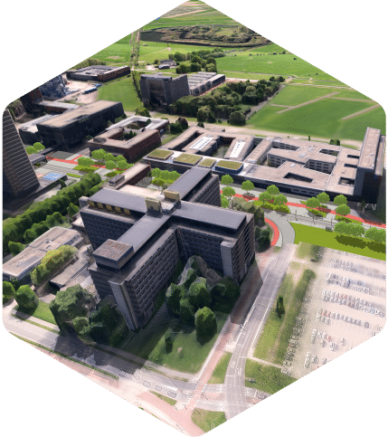
With more accurate heights of buildings and trees, it gets easier to visualize the impact of turbines. And then people are more likely to empathize with the project.
When creating an animation between viewpoints of your wind project, it can help to request high detail 3D data for the specific location.