Tutorials
Introduction to Windplanner
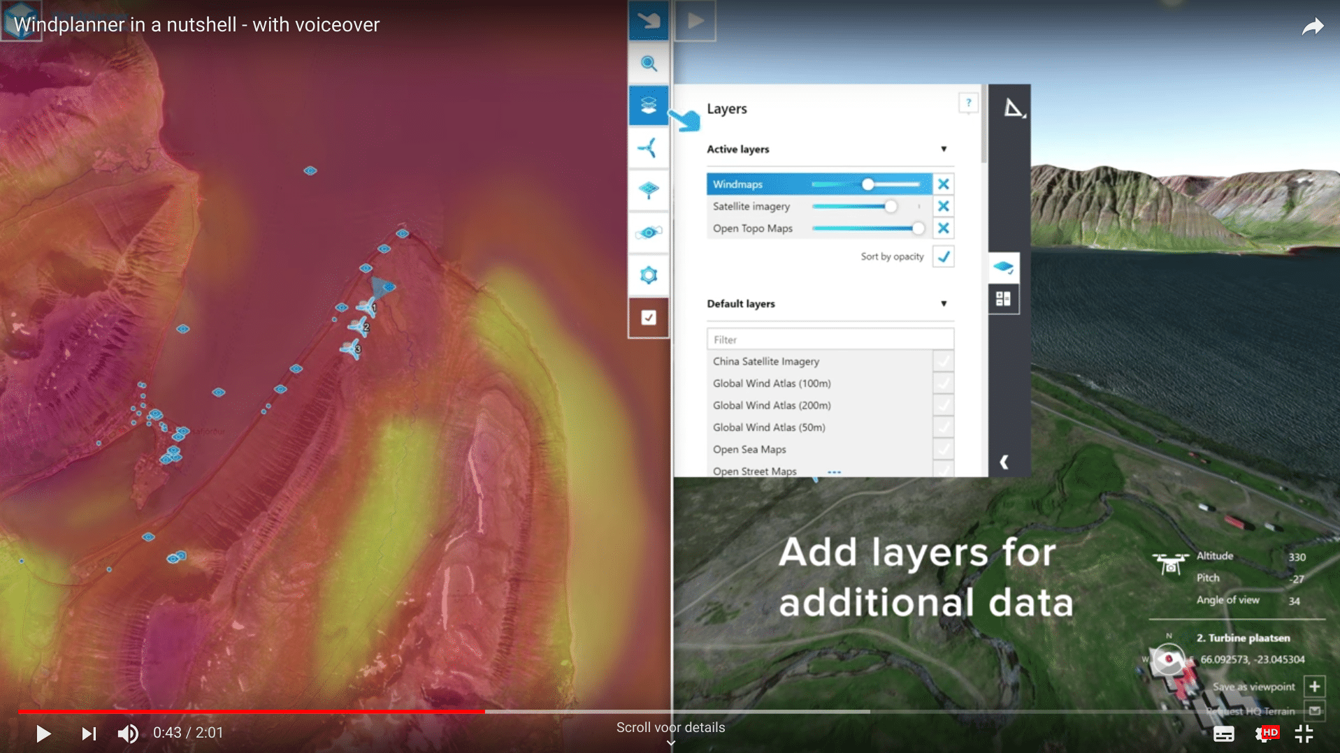
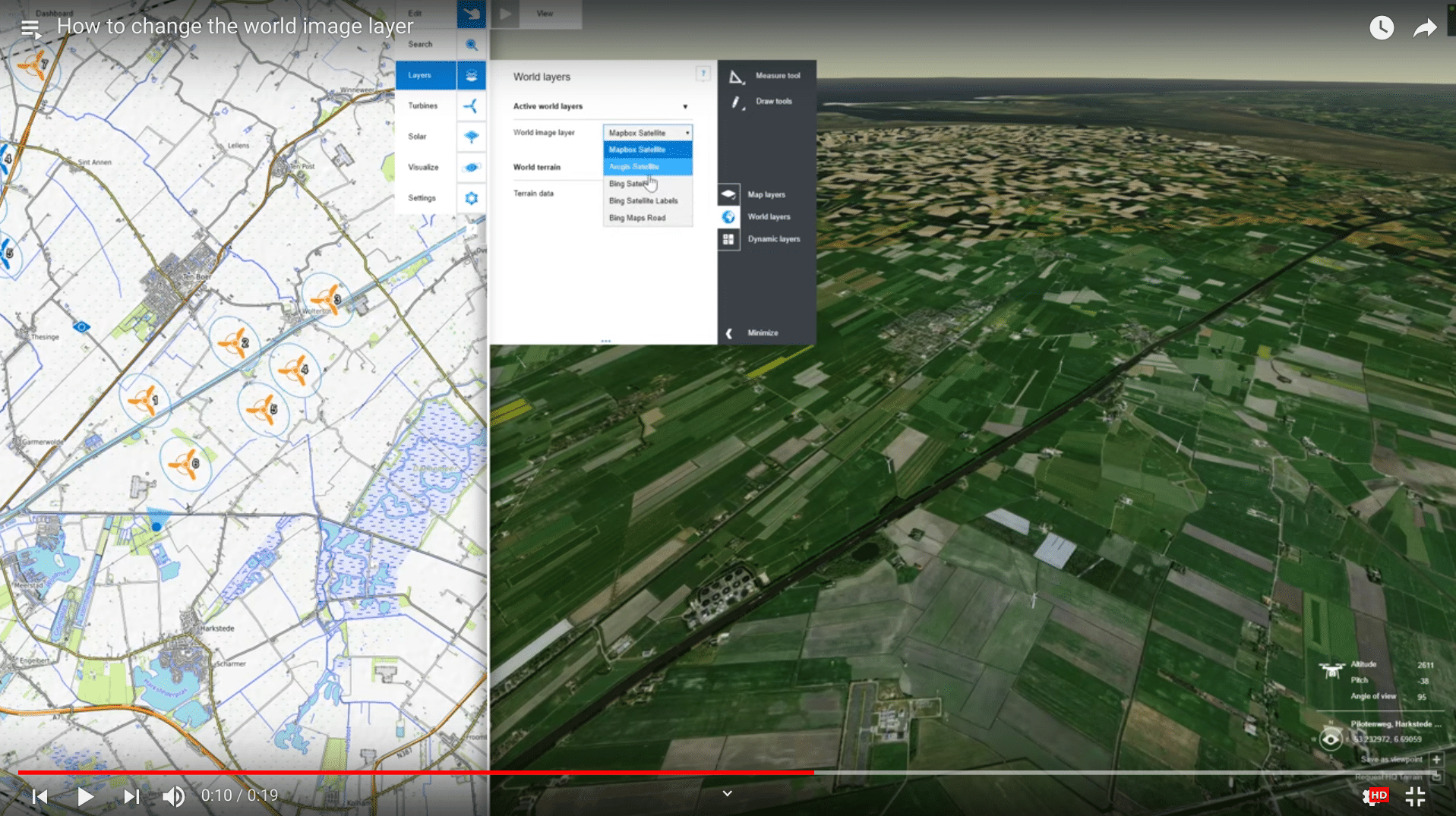
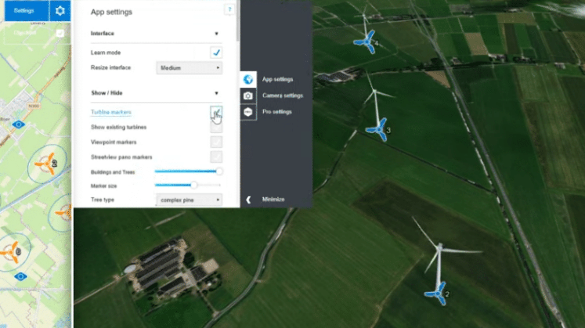
This introduction to Windplanner will teach you the basics of the software. You’ll explore the interface and learn to navigate both the 2D and 3D views. Additionally, you'll discover how to visualize your project using a 360-degree photo.
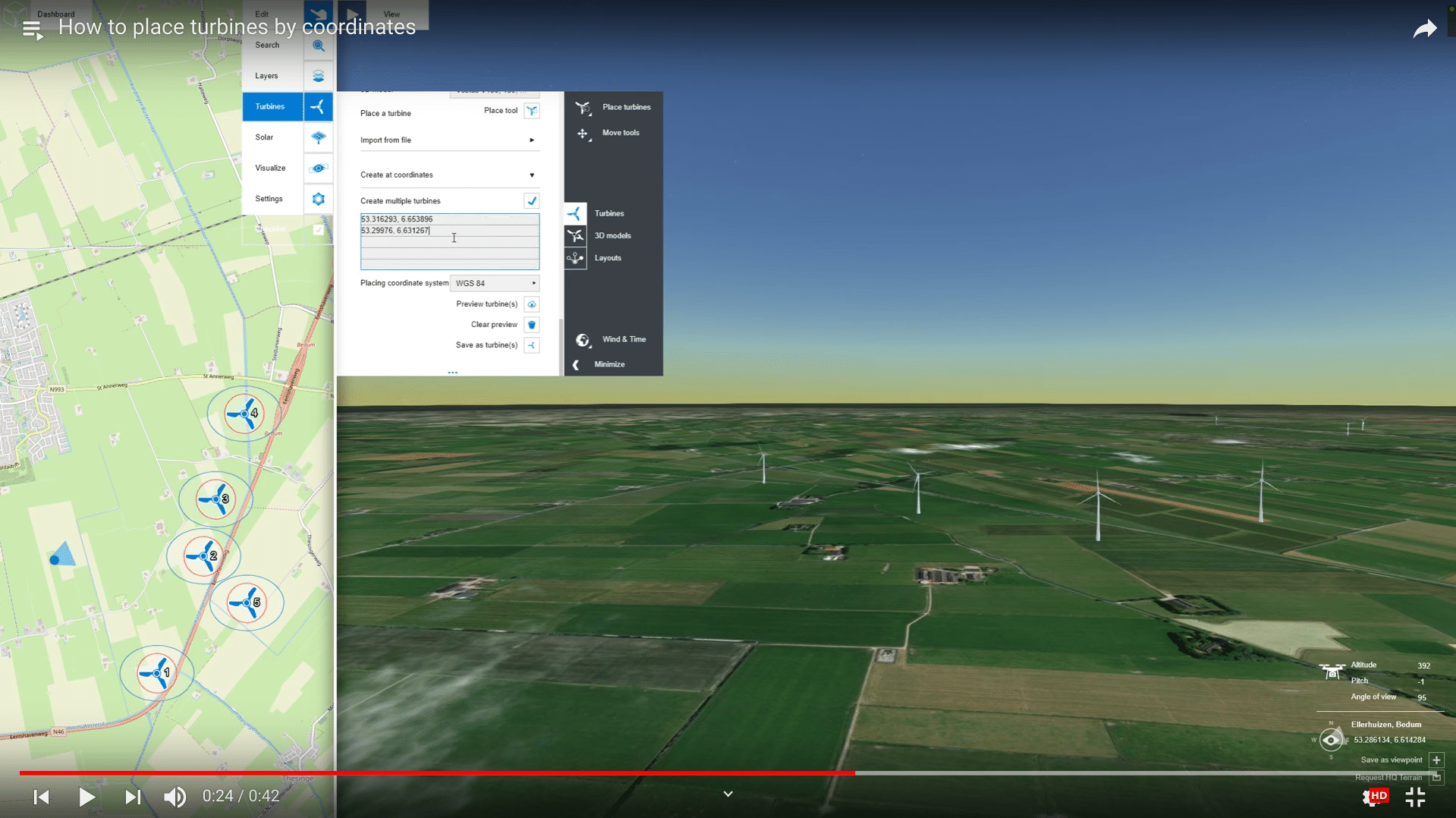
Turbines
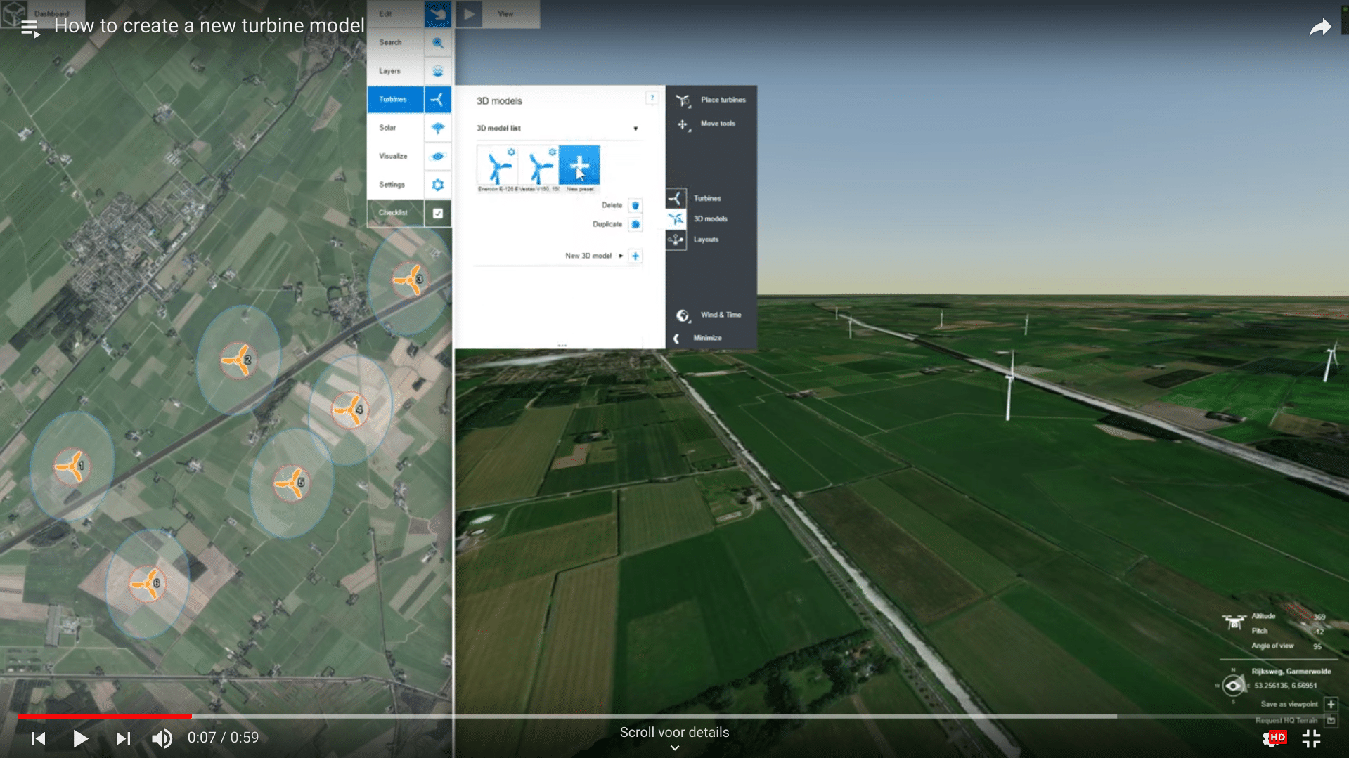
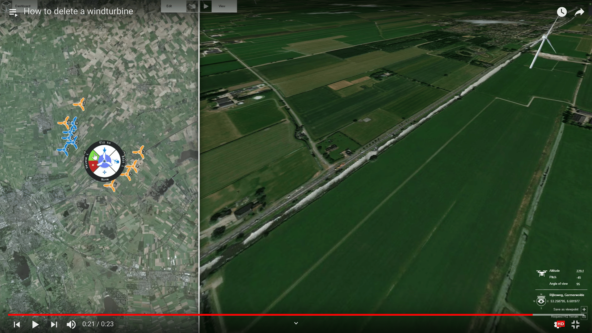
In this tutorial, you will learn how to create new turbine models and explore different methods for placing turbines in your project.
Solar Panels
In this tutorial, you will learn how to create and adjust solar parks with Windplanner, as well as how to modify the different solar panel options.
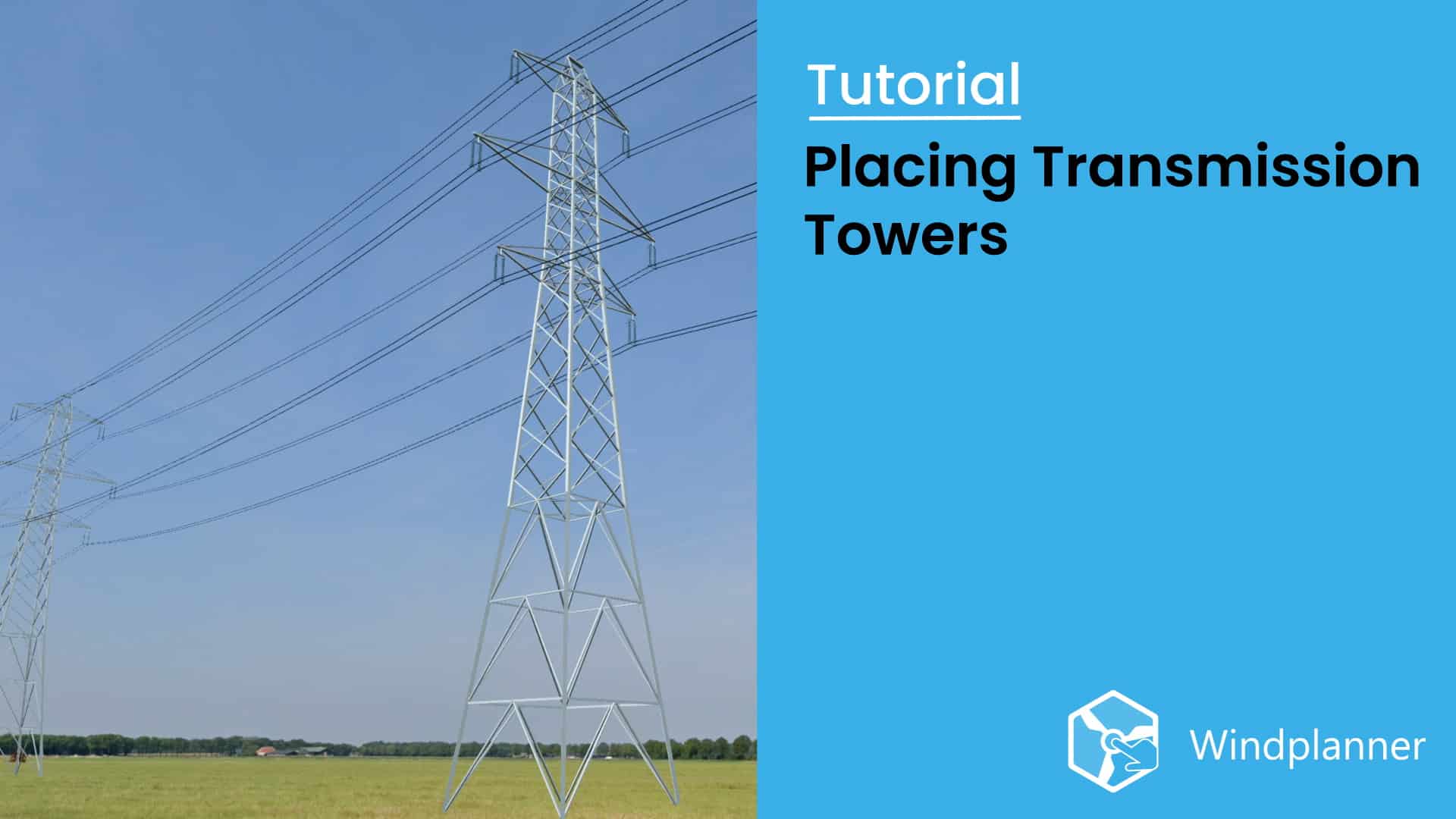
Transmission Towers
In this tutorial, you will learn how to create and adjust transmission towers and place transmission lines using Windplanner.
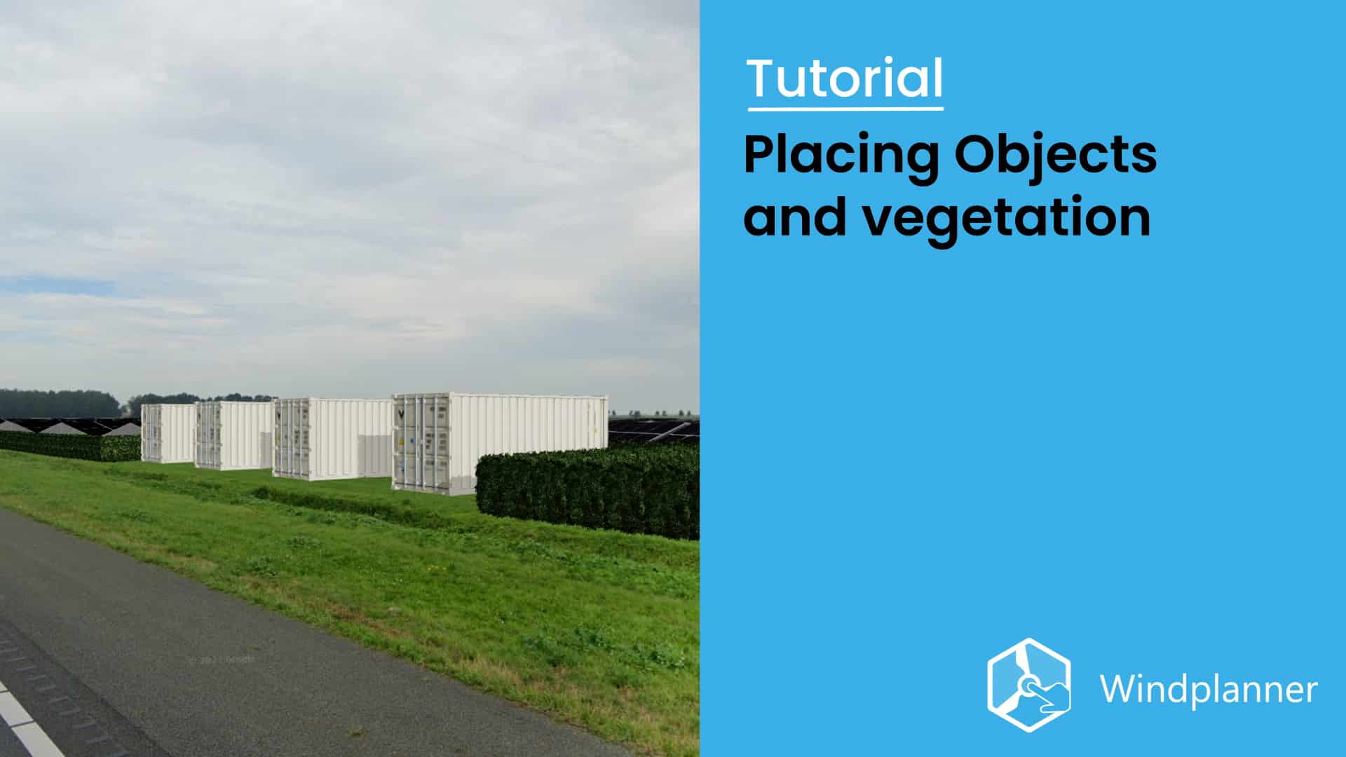
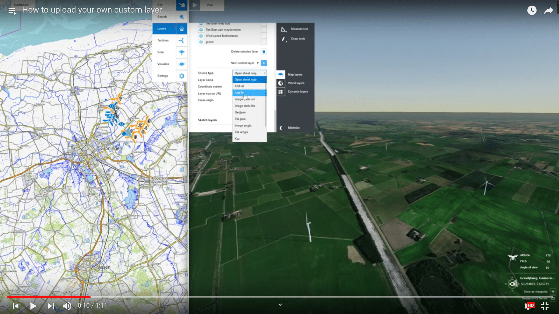
Objects and vegetation
In this tutorial, you will learn how to place objects and vegetation within Windplanner.
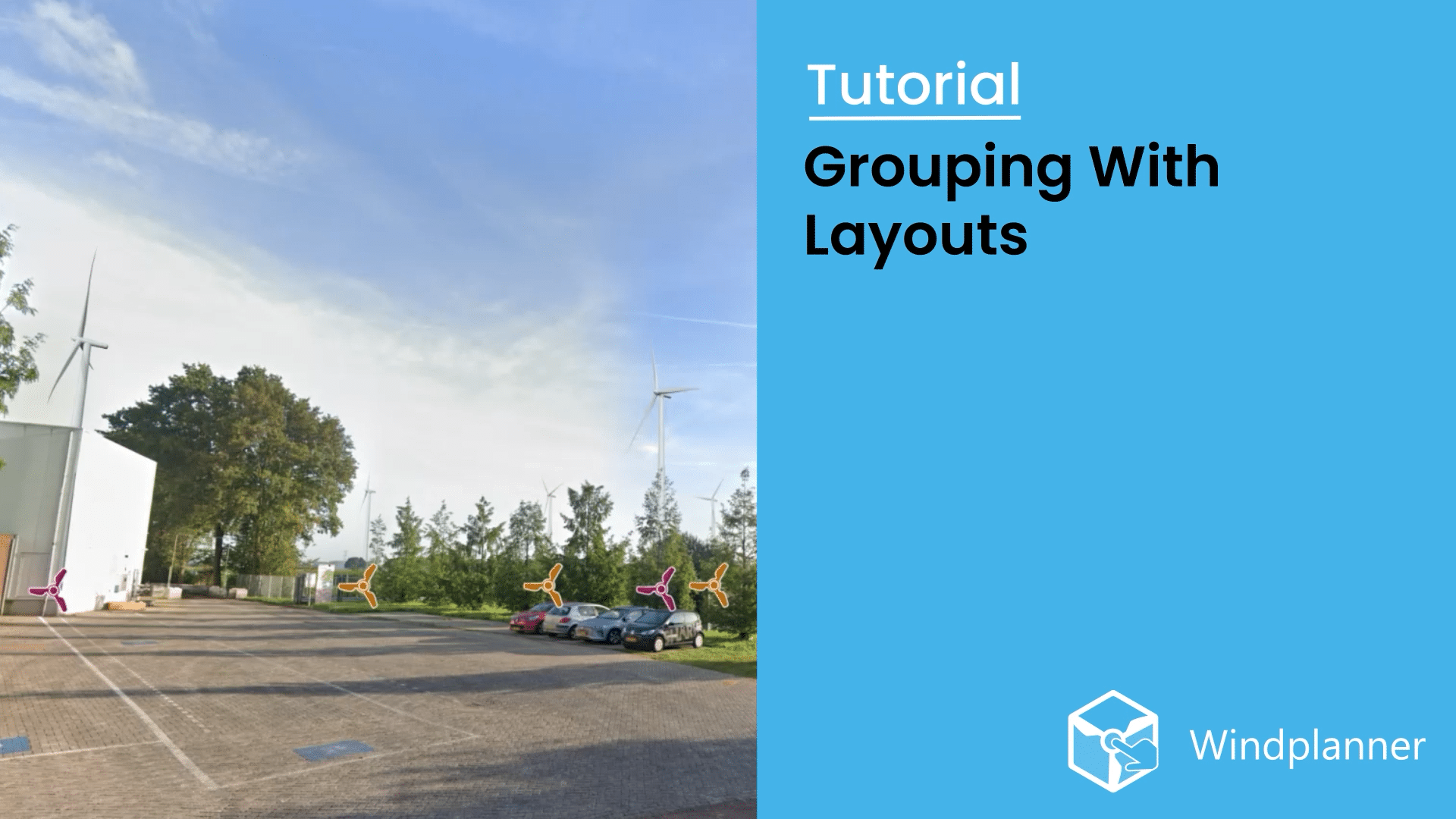
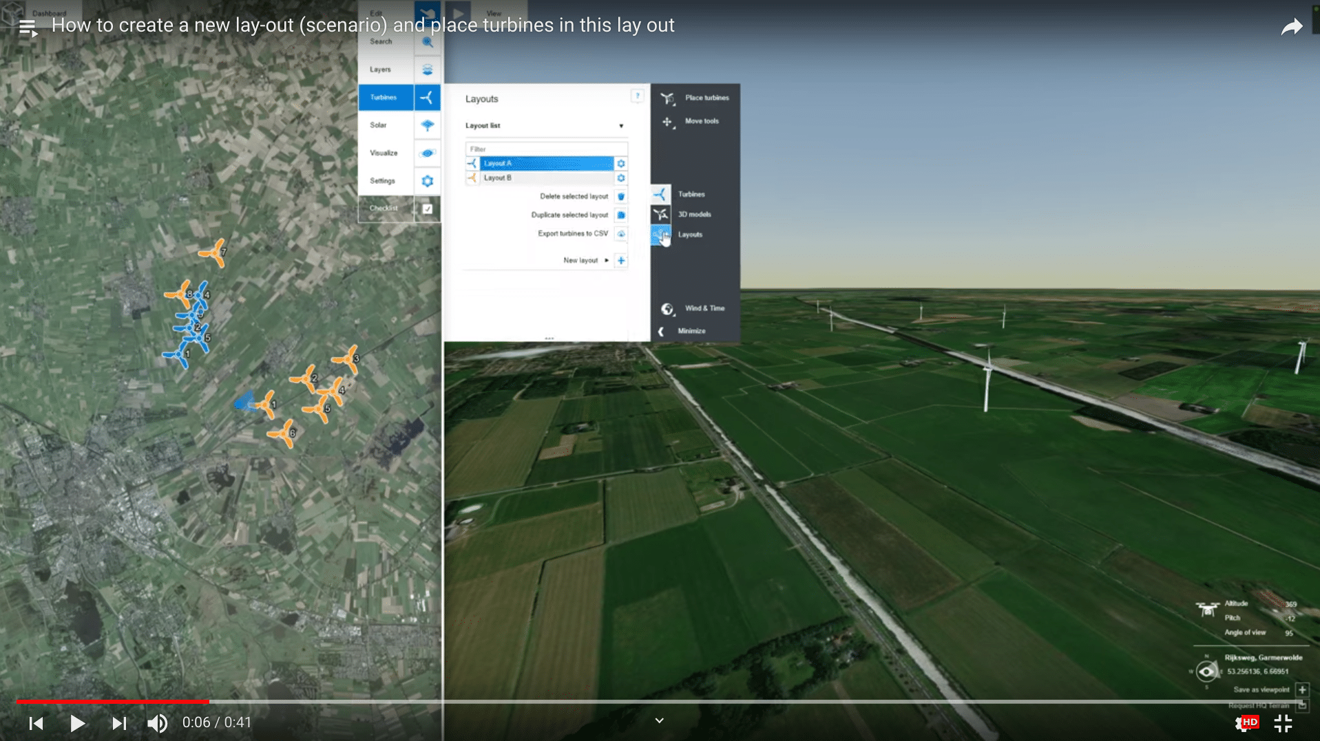
Grouping with Layouts
This tutorial will help you to understand how to use layouts to group objects and create scenario's within Windplanner.
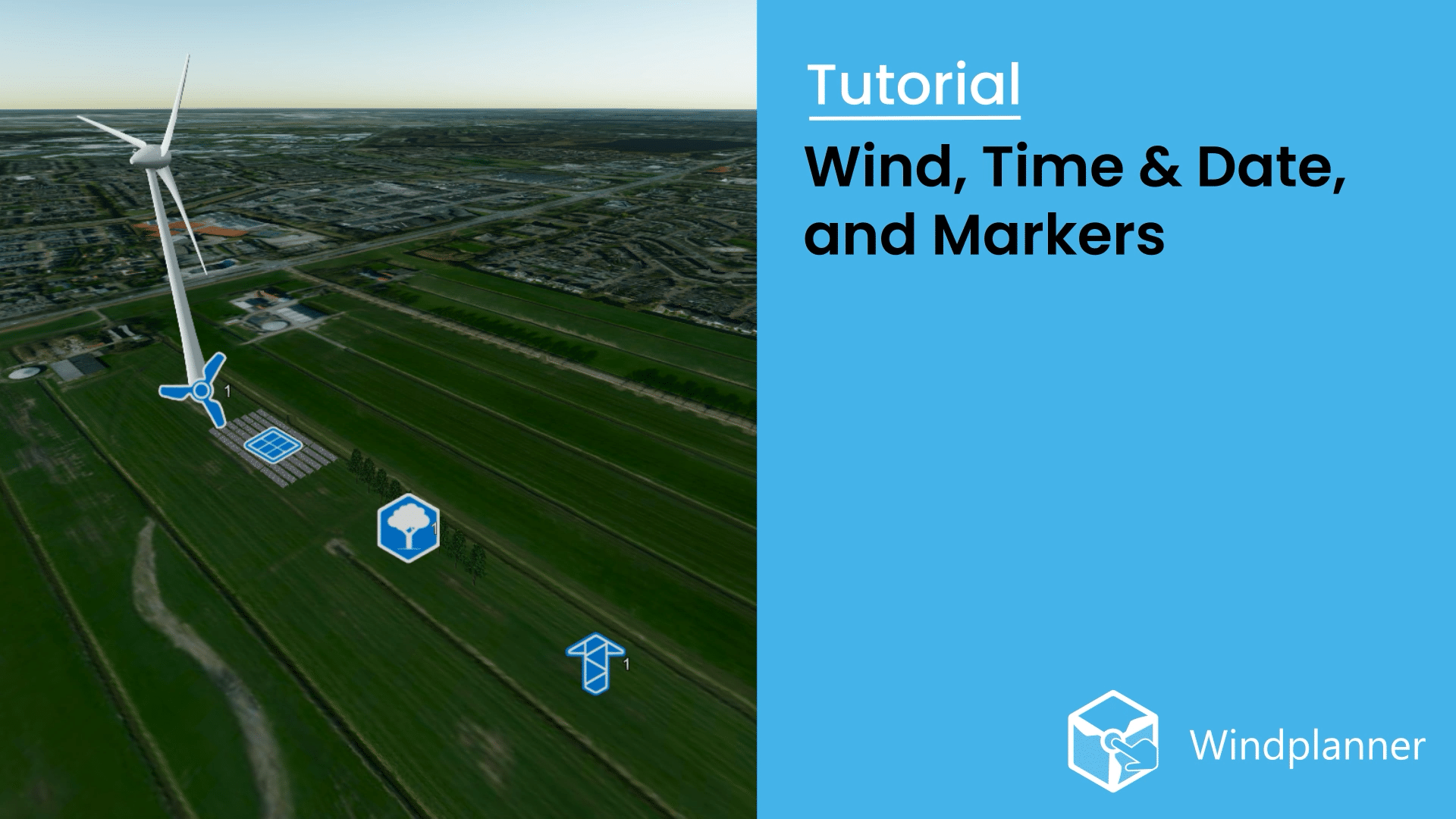
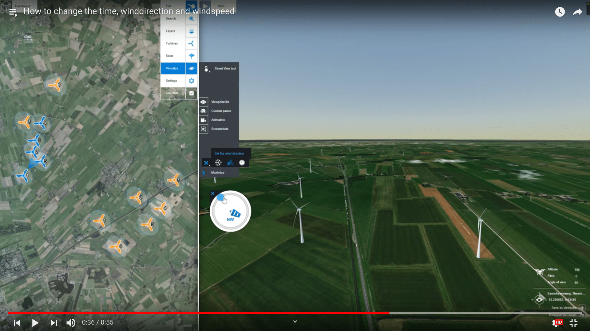
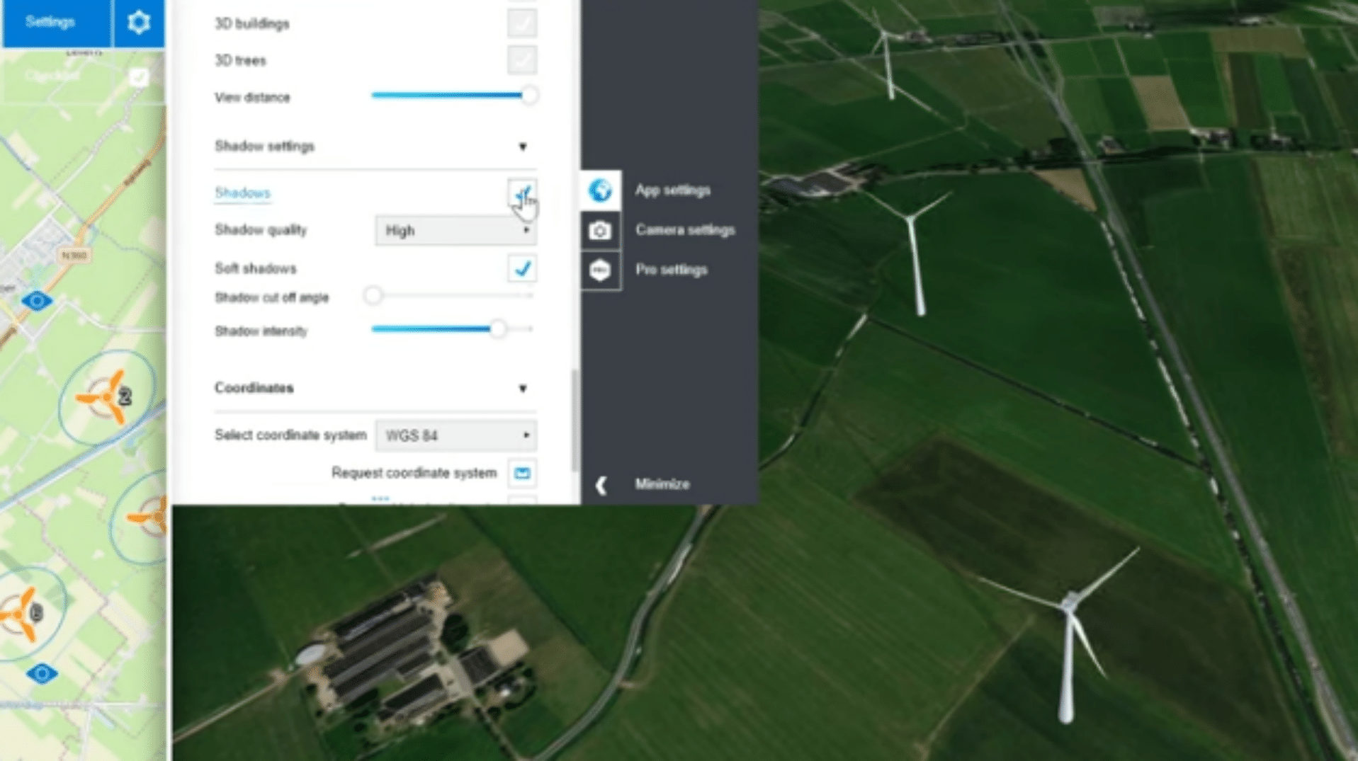
Wind, time & date
This tutorial is all about how to change the wind speed and direction. Furthermore set the time and date, and disable viewport markers in Windplanner.
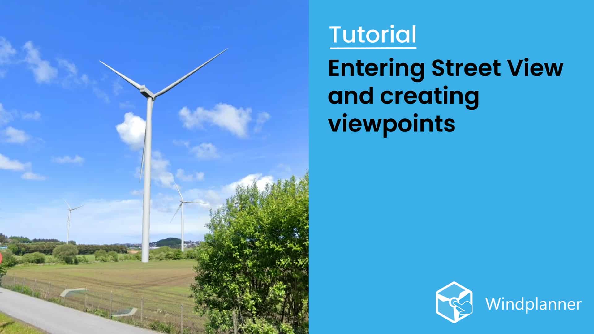
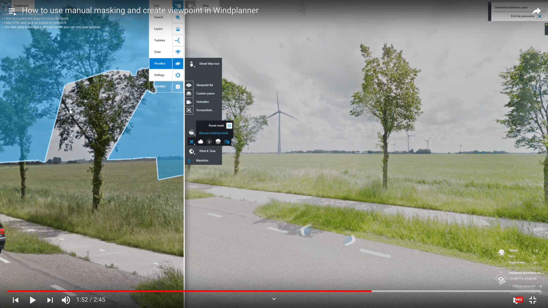
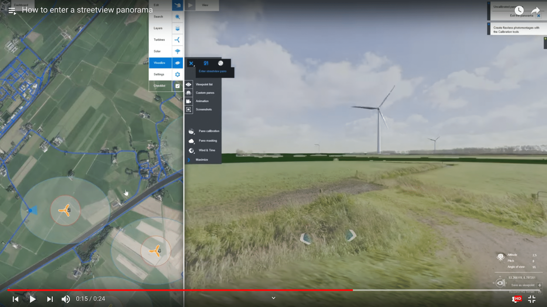
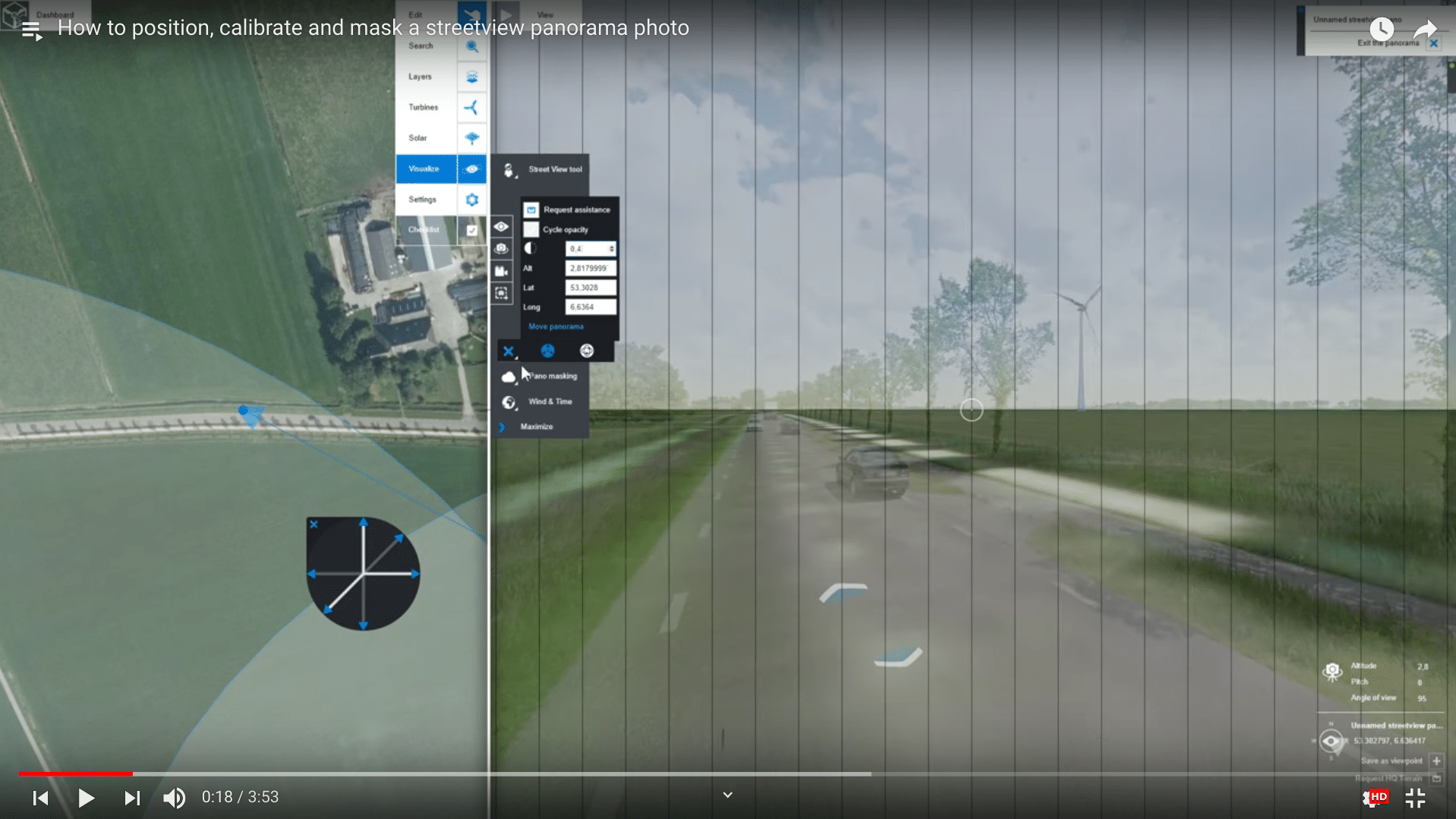
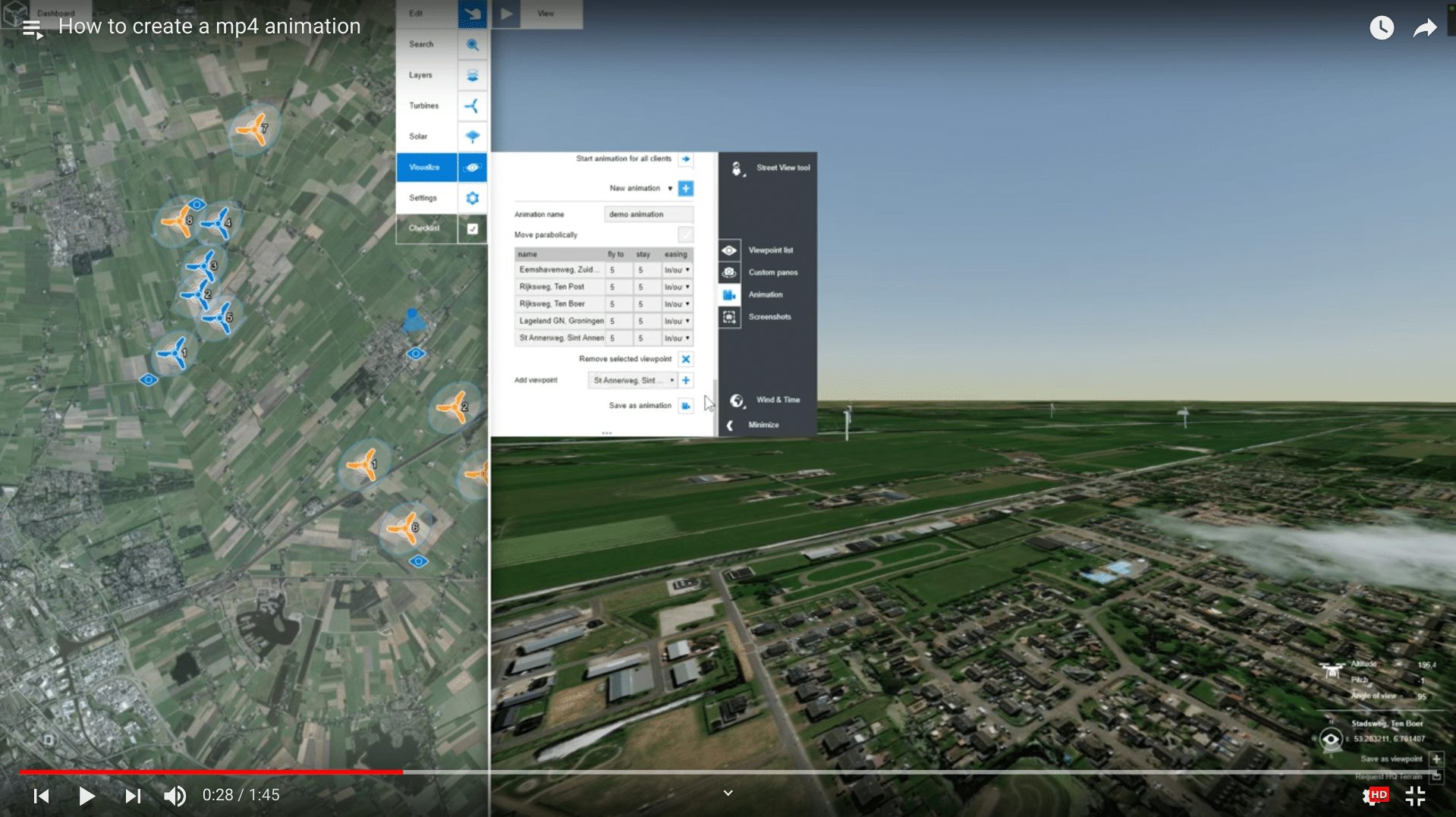
Street View and Viewpoints
In this tutorial you will learn how to enter Street View locations and how to create viewpoints from those same locations in Windplanner.
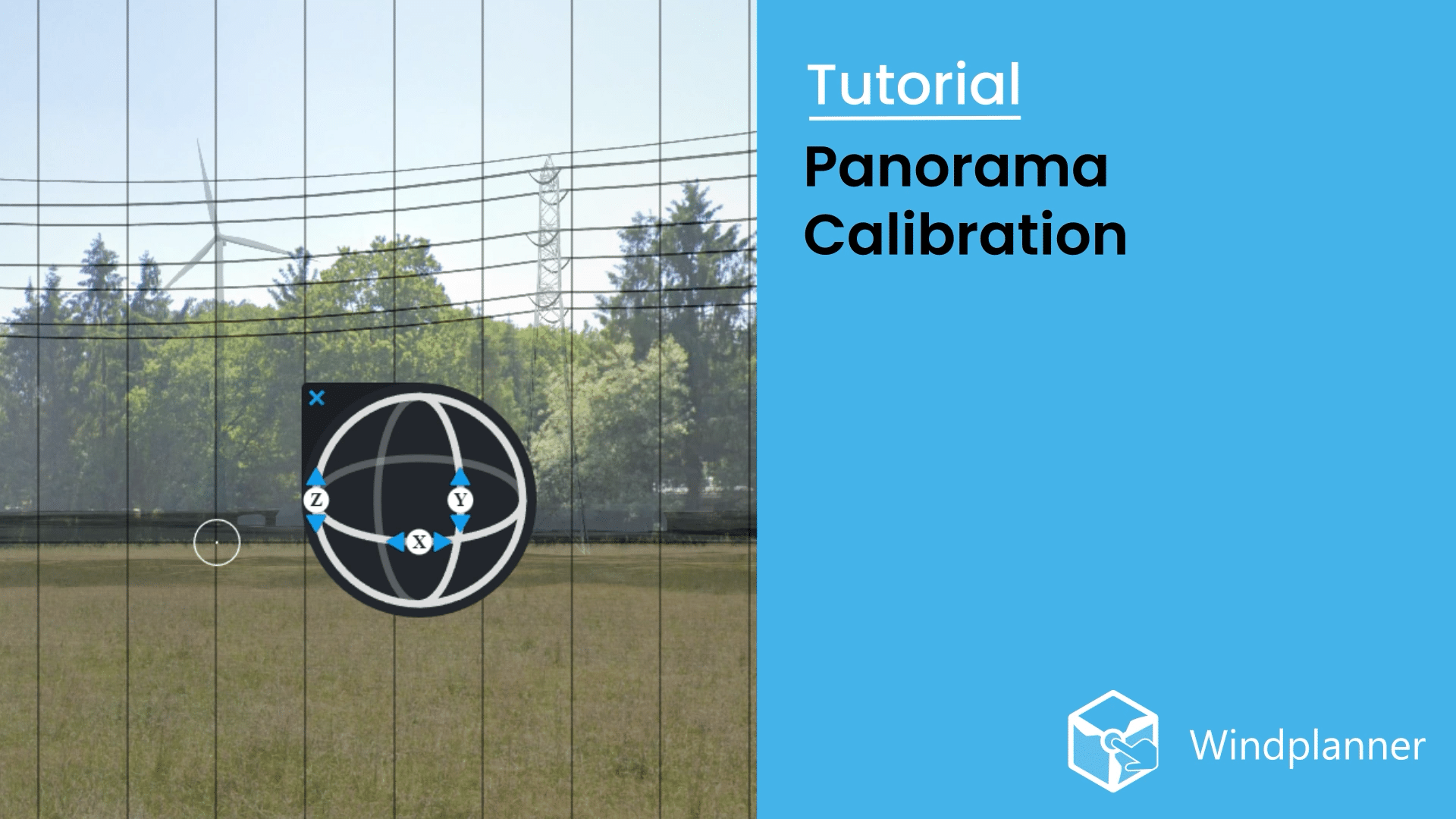
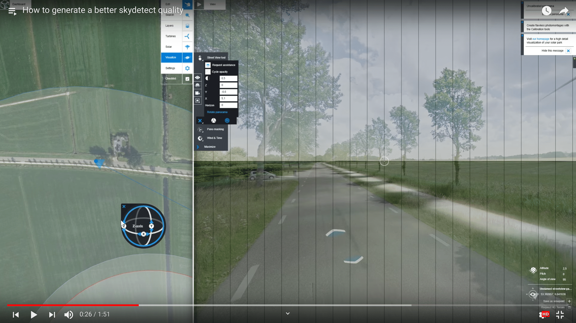
Panorama Calibration
This tutorial will cover how different methods of calibrating work on your panoramas to get the best out of your visualisations.