Windplanner 2.26.0
March 19, 2025
Major
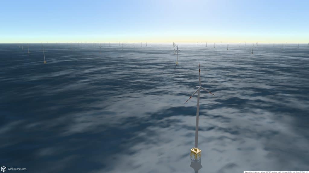
- Offshore Wind: Four additional offshore turbine foundations have been added.
- Terrain Textures: Added the ability to change the color of a texture by applying an overlay. This helps blend textures seamlessly on the world map.
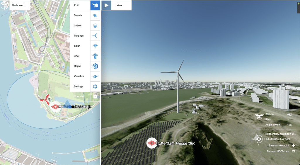
- Dashboard: As a team member, you can now invite a project member or observer to grant them access to a project. The interface has been updated accordingly.
- Dashboard: When transferring a project to another account, the specific layers will also be transferred.
Minor
- Layers: If no style is found in the KML or KMZ, a default style will be applied.
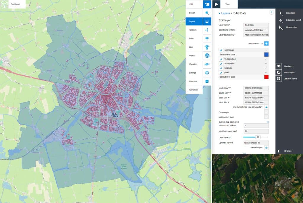
- Custom CRS: All globally used CRS coordinates that comply with EPSG can now be added by the user. When adding a new Coordinate Reference System, the system will retrieve the correct name and decimal.
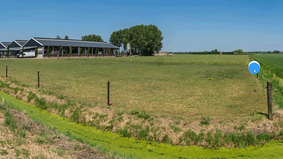
- Terrain Textures: These elements are now also available on the 2D map.
- This makes it possible to precisely add new terrain textures based on topographic data, such as asphalt, grass, concrete, cobblestone or water.
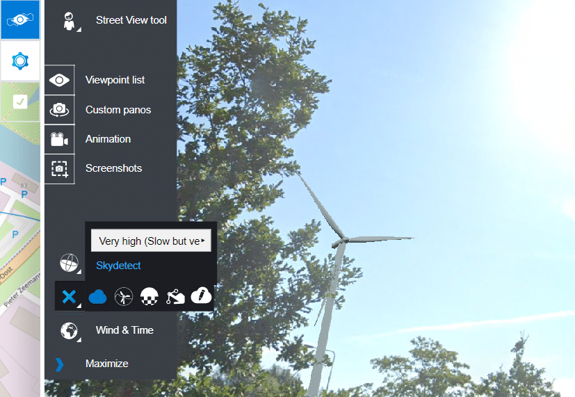
- View mode: All tooltips will now be accessible to observers and spectators.
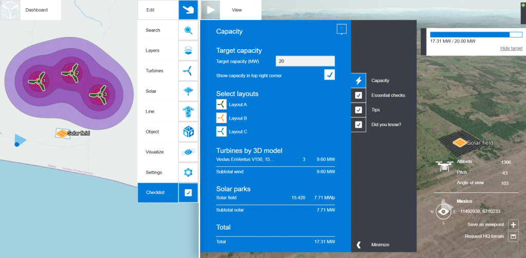
- Dashboard: As an owner or team member, you can now view your subscription limitations.
- Dashboard: When the maximum number of team members, project members or observers is reached, the “invite” button will disappear.
- Dashboard: When the maximum number of invites is reached, a warning message will appear.
Bug fixes
- The Place tool did not always retain the layout you were working in when switching between different modules has been fixed.
- Fixed an error with the blade markings.
- The “Toggle water on world” function is working again, providing a more realistic representation of water. This function is only available for Cesium terrain data.
Windplanner 2.25.0
January 30, 2025
Major
- .Coordinates can be added based on name or EPSG-code
- Windplanner now includes a library of Coordinate Reference Systems (CRS), allowing you to search by name or EPSG-code and add them to your Windplanner account. Do you want to use this? Please contact support@windplanner.com.

- New A-frame for solar panels
- For solar tracking it is now also possible to select A-frames. The new A-frames can be found under Solar 3D models -> Frame settings. When turning on the “Track sun altitude” this option “Use A-frame” appears (only available with a south setup)
Minor
- The flow for removing elements in a custom panorama photo has been improved.
- You can now do multiple edits in a row, download the image or update your custom panorama directly
- Icons for panorama calibration and masking tool
- Icons for panorama calibration and masking tool
- Pano calibration and masking tools are wobbling again, meaning you as a user MUST check these.
- The masking icon should be the same as what your current mask is for your panorama. This will show you at a glance what masking method is being used.
- The Cycle opacity value during panorama calibration retains the user’s last preference value even when switching between Move panorama and Rotate panorama.
- Rework Shapefile import
- The way of importing Shapefile (SHP) has changed internally. You may now only upload a ZIP with at least a .shp and a .prj file for Custom layers. If a coordinate system is included in the .prj file, it will also be used automatically.
- Windplanner dashboard
- Update to the feedback when entering your password. Feedback now clearly indicates what is wrong.
- The reset of your password has been increased from 3 months to 6 months. User can now have the same password for half a year, after that it has to be changed.
Bugfixes
- Fix for Shapefile turbine import
- Coordinates that are not correct are now filtered out so that the rest can be used.
In early development
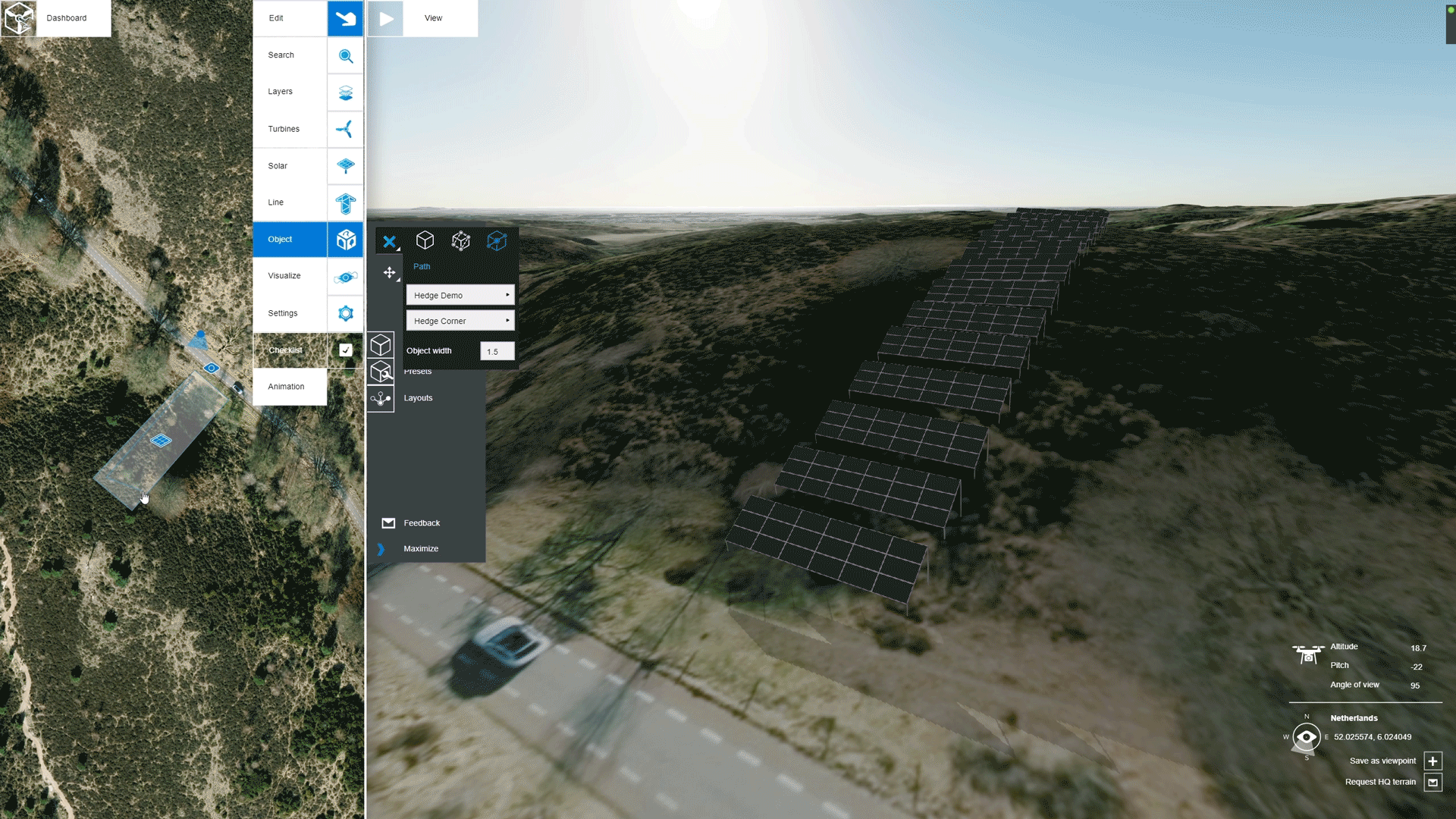
- New Module: Terrain textures can now also be placed in height and objects can be placed on them.
- Objects such as turbines, solar panels, but also cars and houses can now also be placed on raised terrain. This makes it possible to make a foundation yourself with, for example, an approach route. The height can be set yourself. Terrain textures can be laid over each other, for example grass first, then asphalt and then stones. If Snap to terrain is chosen, the Visibility index can be used to indicate in which order the layers should be drawn.
- This module is still in an early testing phase. If you are interested in trying out this new module for free, please let us know by sending an email to support@windplanner.com.